Case Studies in Validating Maps: Oil Palm and Land Cover
Podcast: EarthsightPublished On: Fri Oct 24 2025
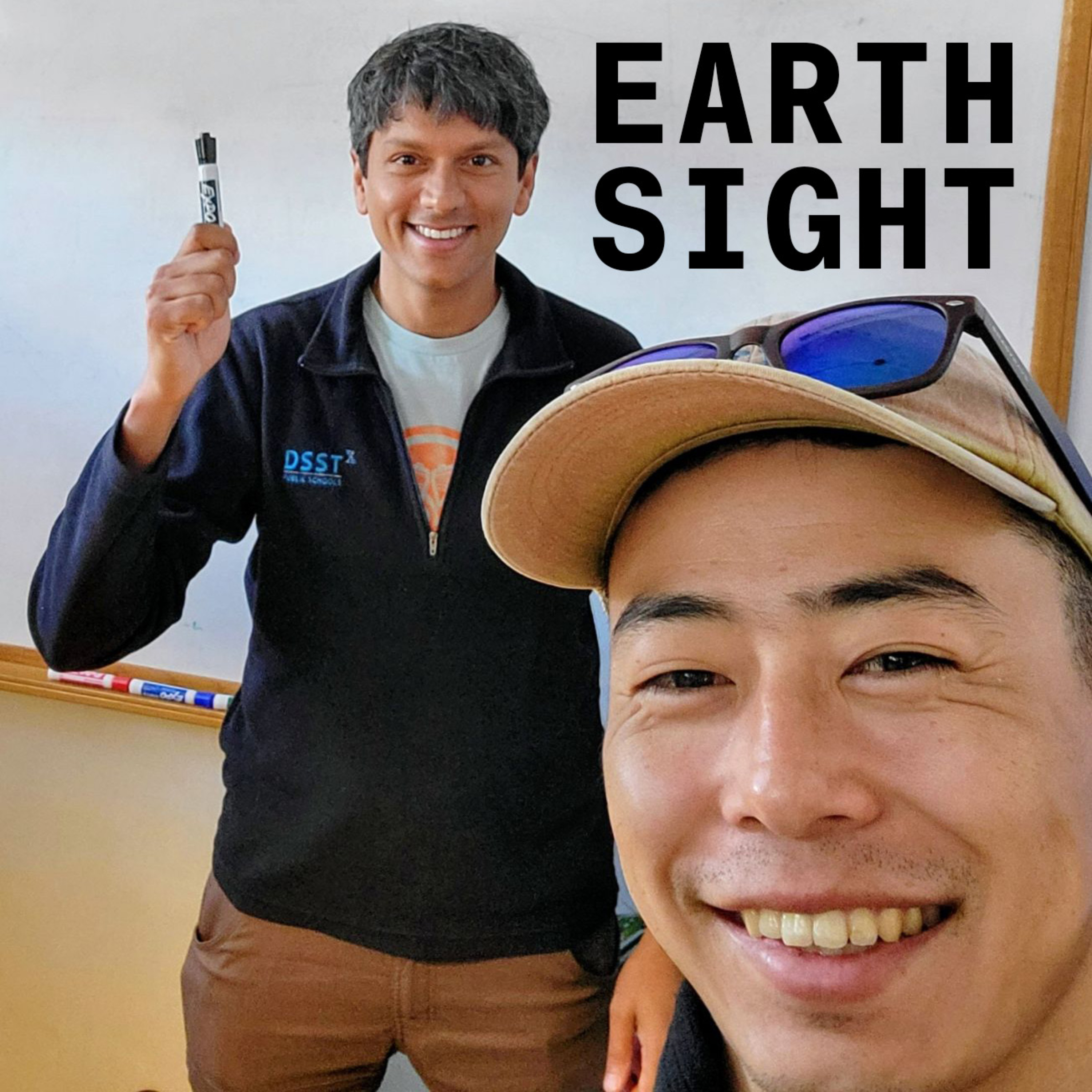
Description: Chris and Krishna talk about validation as a practical part of developing geospatial analytics, focussing on their personal experiences mapping oil palm and land cover at scale. A central theme in throughout this conversation is the use of auxiliary geospatial products, science and human intuition to validate maps.(00:00) Introduction, what is validation?(02:30) Chris talks about mapping oil palm using Sentinel-1(25:00) Krishna talks about global land cover mapping using Sentinel-2(51:00) What tools do Krishna and Chris use for validation. (Krishna loves QGIS)
The note was deleted
The note was saved
Your message was sent